Thursday, September 21, 2017

Plain 100+

this is my heart.*

there are many like it,
but this one is mine.
without me, my heart is useless;
without my heart, I am useless.

the heart can be carried inside a ribcage, thankfully -
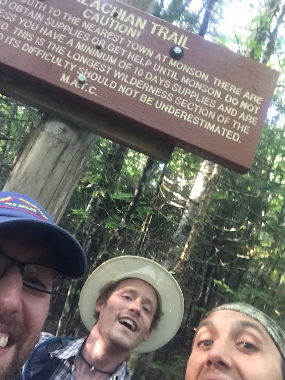
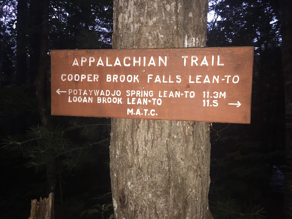
my pack was too full to accommodate it. sixty-two miles
of life jostled across my shoulders.

light crept soft and unstoppable.

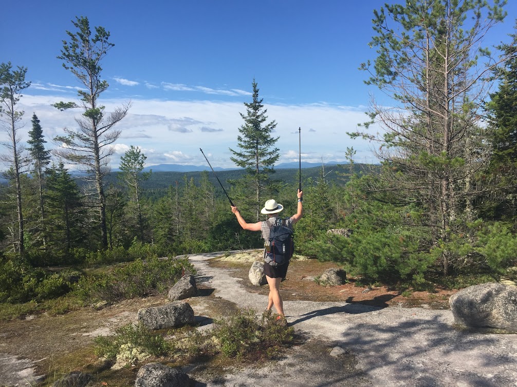
from Maverick we looked out upon a Venus world -
haze, impossible canyons, ghostly mountain apparitions
and only a frigid breeze to remind us
that the sun was far away.

Scott and I drew blood on Hi-Yu.
I called it “good luck” when the yellowjackets struck.
we wondered if vomiting or blisters would constitute
“even better luck”
and then decided we had no need for luck.

Klone Peak allowed us space
to stop and understand
that we were truly “out there”
before we were flushed in an endless undertow
from sky to river,
or were we going deeper?
to see if Satan really was encased in ice
after all?

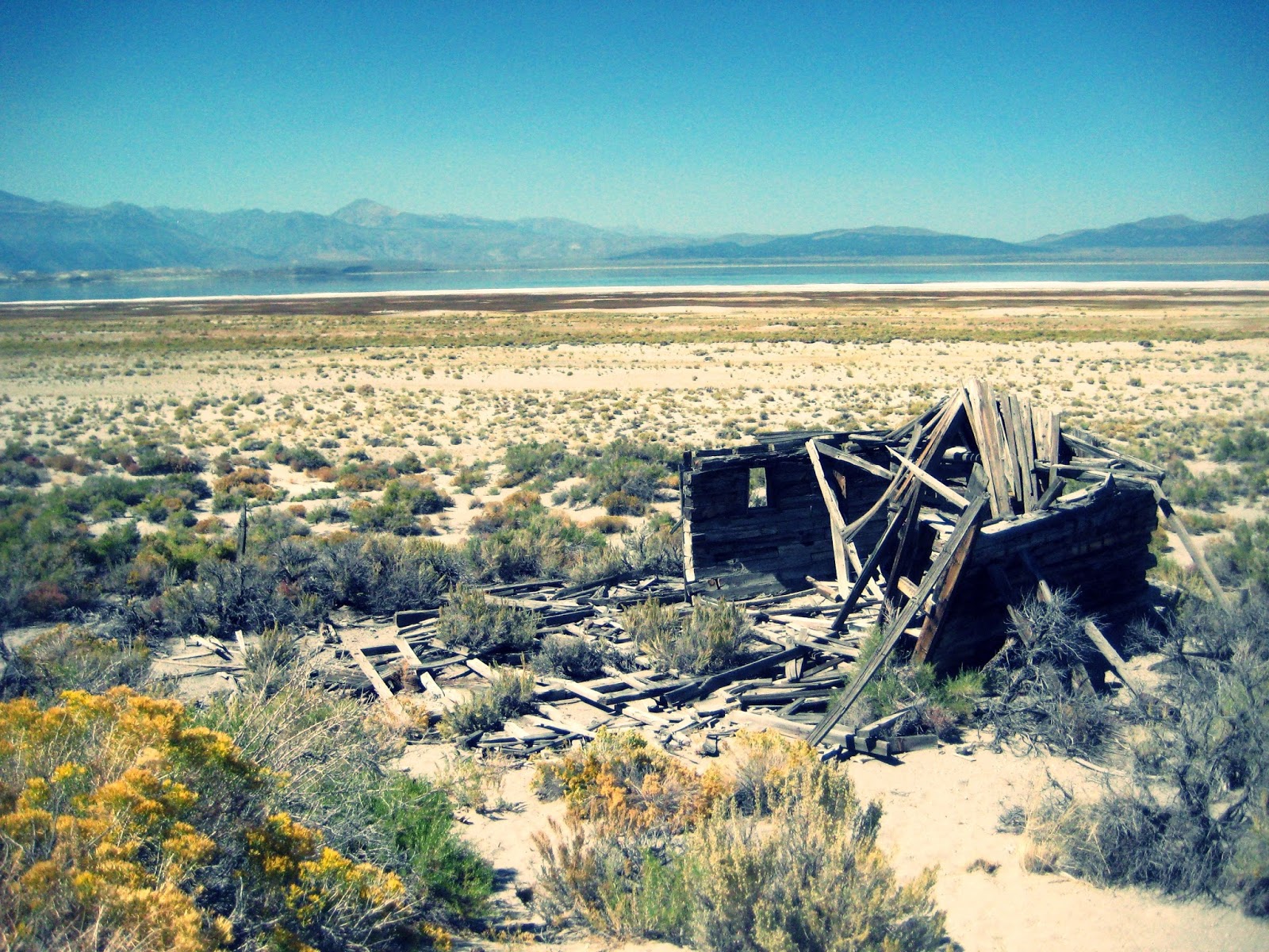
when we reached the river Styx, our pockets
were discovered to be empty. 
coins of silver and gold had proven too heavy for the journey.
Charon would not let us cross.
he pointed us back toward Purgatory,
and for hours we climbed.

Sarah and I ascended step for step,
sympathizing with Sisyphus,
knowing we too would never stop
rolling the stone uphill
just to watch it tumble down,
unable to resist the chase.

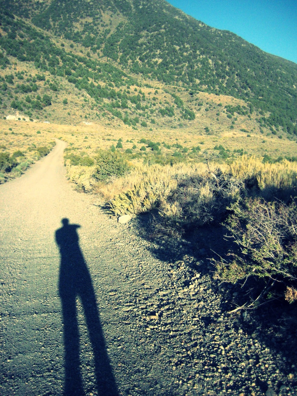
no sentry guarded Cougar Creek,
so I snuck across
just to see what was on the other side.

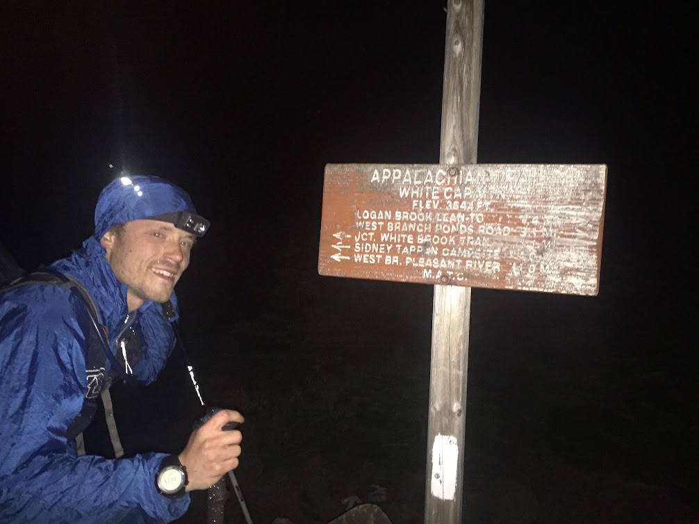
light began to flee on feeble wings
as I said goodbye to Maverick for the second time.
soon the long dance would end
while the longer dance began.

“this is my heart.”
and this is my backpack, once again jostling
with new life.

the infinite cold dark infected my tendons. 
the “process” slowed
until a tree trunk cradled my head and I closed my eyes.
were it not for the instant shivering of mind and body,
I may have remained.

three merry Musketeers appeared through the cloak of night
and I hung as best I could, riding on coat-tails
of good humor so great that when they disappeared around a corner,
I became immediately sure they were mirages.

sleep (that siren) would come and go
and claim one or another of our party as we wound back toward home,
and in the blue haze of morning we said our goodbyes.

I had no water; equally empty was my reservoir
of desire to remain. so I ran.

I displayed my heart to the final gatekeeper,
then I tossed that gray, scarred mound of flesh into the dust
and proceeded empty.


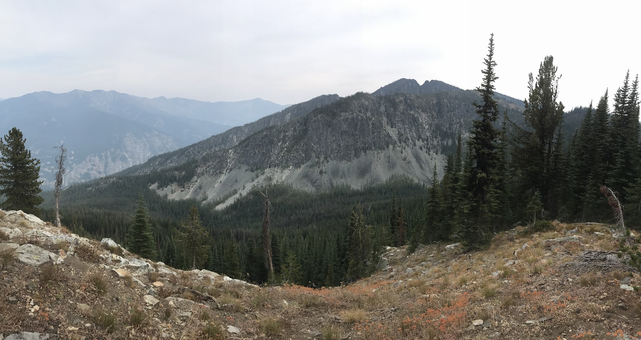
*this phrase was our password to proceed through SAR check-points along the course. It is a modified version of "this is my rifle" from The Rifleman's Creed

Wednesday, July 26, 2017

Maine's 100 Mile Wilderness

"Did I tell you guys this run kinda of scares me?  I think that means I must complete it." - Daddy Long-Legs


The truth is, we were all scared. Our sanity depended on it. To not be intimidated by running Maine's 100-Mile Wilderness, unsupported, would surely mean that we either misunderstood the gravity of such an undertaking or were hopelessly optimistic that nothing could go wrong.

So it was that we found ourselves, a night before heading into the dark underbelly of the North Woods, receiving trail names from our distinguished host, Phil "Quadzilla" Pepin of 100 Mile Wilderness Adventures and Outfitters. Through much banter and argument, we became "Daddy Long-Legs," "Weenie Boy Pencil-Dick" and "Hotpant(ie)s." I'll leave it up to you to figure out who is who.

We slept relatively comfortably in one of Phil's divine bunkhouses and woke at 4:30 AM on Saturday for our shuttle to Abol Bridge. With stops for breakfast sandwiches in Monson and coffee in Millinocket, we arrived at the Abol trailhead at 7:15 AM. Phil wished us well, we shouldered our 17-20 pound packs that contained everything we needed for 100 remote miles, and at 7:20 AM our southbound adventure back to Monson began.

Mission: Ruin Every Photo continues...


Saturday, July 22nd

7:21 AM:
 Daddy Long-Legs, WBPD and Hotpant(ie)s reach the entrance sign to the 100 Mile Wilderness. No one has yet turned tail and run back to catch Phil before he drives away.

7:22 AM: Group photo at the sign. Phil has surely driven away by now. No escape left.

8:55 AM: Daddy Long-Legs and WBPD reach Rainbow Ledges and enjoy fine views. 
9:26 AM: Everyone reaches the shores of Rainbow Lake. Everyone enjoys fine views of Hotpant(ie)s.

11:30 AM: Somewhere along Rainbow Stream during a routine water refill, Daddy Long-Legs and WBPD officially lose contact with Hotpant(ie)s. He will have his own stories to tell.

12:55 PM: The climb over Nesuntabunt Mountain puts a damper on the running euphoria and gives a small taste of what is to come.

4:?? PM: DLL and WBPD are stung by bees on the shores of Lower Jo-Mary Lake. Since Adam got stung during his 2011 run, this must be a good omen.

6:40 PM: The Jo-Mary Road is reached by Daddy Long-Legs and Weenie Boy Pencil-Dick. WBPD whips out his (!) handy-dandy stove and cooks up some instant loaded mashed potatoes for dinner. DLL eats peanut M&Ms and dreams of hot food.

8:27 PM: The sun thinks everyone smells bad so she goes into hiding. DLL and WBPD are at Cooper Brook Falls. Hotpant(ie)s is out in the void somewhere.

10:00 PM: Little Boardman comes and goes through headlamp beams. Barred Owls call in the distance.


Sunday, July 23rd

1:20 AM:
 DLL and WBPD summit White Cap Mountain, the highest point in the 100 Mile Wilderness. A light wind blows and temps are in the 40s. The Milky Way, looming above, puts the runners hikers in their place and helps them remember that they are insignificant, petulant beasties rebelling against their own mortality.

2 - 5 AM: DLL tries really hard not to fall asleep on his feet.


6:03 AM: Breakfast above Screw Auger Falls. Once again, WBPD whips out his (!) handy-dandy stove and cooks up some pea-protein-infused MUSCLE MAC while DLL eats M&Ms and performs careful, delicate foot repairs.

7:01 AM: DLL's artisanal foot bandages are immediately ruined by the unforeseen ford of the West Branch of the Pleasant River. "The best laid plans of mice and men oft go awry..."


7:20 AM - 1:20 PM: DLL and WBPD struggle across the fucking relentless hell known as the Barren-Chairback Range. 


2:00 PM: Hallucinations begin. DLL and WBPD "see" a rotating cast of trail signs, kiosks, shelters, and hikers in the woods around them. WBPD spots a man push a bicycle behind a tree. DLL points out a Christmas ornament in a fir tree next to the trail.

3:47 PM: DLL has a badly swollen ankle is using innovative breathing techniques to place himself in a trance-like state to transcend the pain. WBPD follows closely behind with Lamb of God screaming in his ears: I AM THE INFERNO. I AM LEGION. They ford Big Wilson Stream.

6:05 PM: Leeman Brook is reached, so DLL and WBPD fire up the burners for the last three miles. They "run" at a screaming 15 min/mi pace.


6:52 PM: DLL and WBPD drape themselves across rocks in the trailhead parking lot on Route 15. Like an angel sent from heaven, Poet pulls up in his shuttle vehicle and whisks them off to Shaw's Hiker Hostel for beer, soda, food and tale-telling with thru-hikers. Monson greets them warmly.


THE NUMBERS:
Total Time: 35:32 (Josh Katzman and Rob Rives)
Distance: 96+ miles
Elevation Gain: 18,766 feet
Pack Weight: With water and food, 17 pounds (Josh), 20 pounds (Rob)
Calories Consumed: ~8500 (Josh), ~7000 (Rob)
Sleep Time: 0 hours, 0 minutes
Weather: Fucking perfect. Clear skies. 50s-70s.

Monday, February 20, 2017

the BBBBB

The idea came to me twelve hours before I took my first step out the door.
Blame the Heady Topper.

Beer abounds in Boston. Along with the rest of everywhere in our great Confused States of America, Boston's craft brewery scene has blossomed and spread with a vengeance, particularly in the last decade. There is a certain poetic justice to the craft beer boom in Boston; after all, this is the backyard of Jim Koch and the billion-dollar idea that making decent-tasting, creative beer would get people to hand over all of their money. So late on a Friday night, as I emptied a can of New England's most cultish DIPA, I decided to connect some dots on the map.

I found eight breweries along a 15-17 mile loop, all accessible from my doorstep in Jamaica Plain. The goal: run to each, drink some beer, and try to make it home without getting wasted and hit by a car or falling into the Charles.

the BIG BADASS BOSTON BREWERY BONANZA!


1. Boston Beer Company. What better spot to begin? This is the birthplace of Samuel Adams Boston Lager and the modern craft beer movement as we know it. It's also 0.7 miles from my house. I barely snuck in to the 10 AM tour and was treated to an hour of Beer 101, Brewing 101, excellent humor, and eventually ~20 oz of free beer. We tasted the classic Lager, the seasonal Hopscape, and the Chocolate Bock. Props to Doyle and Willy for their excellent tour. And yes - all of this is FREE. Do it.

2. Dorchester Brewing Company. My pleasant breakfast buzz carried me three miles east to Dorchester Brewing. Experiencing the Boston Beer Company and Dorchester Brewing back-to-back is to see both ends of the craft beer temporal spectrum. You begin at the birthplace of the largest, most influential craft brewery in the country and end at a cavernous, sparse, barely redecorated factory-building-turned-brewery that is a mere seven months old. Sean served me a half-pour of their delicious Tripel and I strolled through their tasting rooms, all alone at 11:30 AM on a Saturday morning.


3. Harpoon Brewery. Love beer, love life, yadda yadda, you know it, it's awesome beer. But holy shit - this place was crowded. Before my ever-buzzing eyes teemed the young, hip, snifter-sniffing craft beer consumers that line the wallets of the great beer beast. I was all too happy to join them. Oh, you don't do half pours? Well, twist my arm...

4. Trillium Brewing. No tasting room here, just a tiny little shop where one can buy cans and fill growlers. I hadn't done my research so I just bought a can of their Double IPA and shoved it in my pack for later. I was three beers in and had consumed no food - I was glad for the break.

5. Boston Beer Works. BUCKETS of FRIES? Yes please. And your signature pale ale to go with.  
            

6. Somerville Brewing Company - Slumbrew. After leaving BWX I was finally drunk enough to start making wrong turns. Mileage was added as I tried to find my way into Somerville, but eventually I stumbled into the parking lot of this curiously named locale. I desperately needed to stick to small pours, but all they offered in small sizes was barrel-aged-fuck-you-up-quick stuff, so what the hell? A rum-barrel-aged quad? 12% ABV? What could go wrong?

7. Cambridge Brewing Company. More wrong turns. But like all drunkards I persevered to my own detriment. Again with the small pours of heavy, lusty beer. A bourbon-barrel-aged barleywine? Wrong could go what?

8. Lamplighter Brewing. I was too drunk, this place was too crowded and too hip. I might have enjoyed it more if I hadn't already put in a half-marathon and wasn't hungry enough to eat a hipster. I also smelled bad and people were crowding away from me to give my scent its own safe-space. Their alt-bier was good, or at least I think it was; critical tasting had become difficult by this point. Time to go into survival mode.


Well, I made it home safely. I was far too uncomfortable to enjoy the Trillium beer so it's still in the fridge, waiting for the hangover to go away. I didn't really learn anything, but I did satisfy my curiosity and drank great beer at every location. But something nags at me...the thought that it could have been bigger. With more time, more food, and more responsible drinking, I do think this route could go further north and ensnare some more breweries. 

More importantly, this idea can be adapted to any large metropolitan area that has been infected with the craft beer virus. What about your city? Wanna plan an epic beer/running journey of your own?

HERE ARE THE RULES:
1. There are no damn rules. Are you kidding me? Does this look like the USATF? Enjoy yourself and don't get hurt, and if you do, don't mention this blog.
2. Alliteration is rad. I suggest you use it when naming your route.

-- Rob Rives, 2/20/2017

Sunday, April 24, 2016

Skyline-to-the-Sea and back again, the other way around....

"I took too much and I've gone too far and
I might not make it.
I might not make it.  This time,
I might not make it."

Abel Tesfaye's unmistakable voice croons through my scratchy radio as I float around curves on my way through Gilroy.  The tight two-lane highway is heavy with traffic but moving quickly, California-driver-quickly.  Thoughts of a recent and tragic head-on collision in my own home canyon bounce around in the back of my mind.  Best to be numb and forget.

Two large cups of coffee, two large beers.  A typical cycle.  I'm left sleepless and tossing in my tent in a crowded KOA tent field.  As I finally drift off, the father in the site next to mine says "fuck off, nobody loves you" to one of his family members.  I'm filled with rage and sadness.  Rather than get mired in family politics, I simply pick up my tent and move it out into an open field adjacent to the campground.

In a dream, I am walking on a trail in Yosemite with my parents.  A thin film of volcanic glass covers the surface of the trail; stepping on this glass produces a fine crunching sound as we walk.

Waking realization: the crunching sound that has invaded my dream state is the sound of rain drops falling on my tent.  The rain fly is not on.  Lurch out, throw rain fly haphazardly over tent, lurch back in.  Rain stops immediately.

2 AM.  Can I sleep yet?  I'm running fifty miles tomorrow...I mean, today...


Images courtesy of redwoodhikes.com


5:45 AM:  Wake up, tear down tent, brew coffee and eat peanut butter sandwiches, chips and salsa.  Five-star breakfast.  Drive to Waddell Beach.

7:26 AM:  Ready to run.  Take first picture of trailhead sign and head into the forest.  Newts and banana slugs everywhere.  Sun-dappled here and there, but overall shady and cool.  60 degrees.  Perfection.

9:27 AM:  First time through Big Basin HQ.  Refill water and roll on.

10:18 AM:  Totally in love with the sandstone outcroppings and pine forest below the China Grade.  It feels like I'm back in Pisgah National Forest, where I first learned the dark art of trail running as a college student.

11:19 AM:  First pass through Waterman Gap Trail Camp.  I've done almost zero research on this route and so I'm entirely unaware of the water source.

12:40 PM:  Saratoga Gap trailhead parking.  A mountain bike manufacturer is having some demo party, complete with massive grill-out in the parking lot.  I'm too shy to ask for a hot dog but I want one really badly.  Time to turn around...

1:47 PM:  Second pass through Waterman Gap.  Could've used that water...

3:50 PM:  Second time through Big Basin HQ.  Zombie-style, my body carries me to the snack bar.  It's an out-of-body experience: I watch myself purchase a giant hot dog with relish and a cold bottle of sweet tea.  I reconnect mind and body with each bite of food.  Okay, now I can think again...

5:55 PM:  Back at the Waddell Beach trailhead sign.  One more picture, force a victory smile.  Total time for Skyline-to-the-Sea out-and-back: 10h29m.  A new FKT by an hour and a half.  Submerge legs in the ocean.  Pull out of the parking lot with Leor Pantilat on my tail in his Prius (hallucination?).


-- Rob Rives, 4/24/16 (run on 4/23/16)

Friday, October 2, 2015

Mono Lake Loop Run

Mark Twain once visited this place, and lied about it.


In Chapter 38 of his book Roughing It, he details a visit to Mono Lake in the 1860s that includes such observations, assertions and conclusions as “It is…about a hundred miles in circumference,” “an unpretending expanse of grayish water,” and “little graced with the picturesque.”  These are opinions, sure, but I doubt few modern-day visitors would agree.  And the lake is only 40 miles in circumference, not one hundred.  He further describes this salty, alkaline inland sea as “solemn, silent, sail-less…the loneliest spot on earth.” 

Okay, I’ll give him that last part.


And perhaps that was exactly what I was searching for.  A place purely lonely, where nothing comes between human and earth, feet and vulcan dust, sun and skin.  A place to feel vulnerable.  To prove that one can support oneself.  To carry only what is needed.  To be friends only with sage and the sporadic juniper, beacon of shelter and shade.  A place to make a choice and live with that choice.  To have no other option.

You will be spared the elaboration, the gritty detail of each turn, the nuances of running as writing.  As is only appropriate when experiencing a place such as the Eastern Sierra’s Mono Lake (remember, the loneliest spot on earth), you will be provided with a stark literary landscape of fragmented details and the rest will be, well, sand and stone.

  • On September 21st, 2015, I made a circumnavigating journey around Mono Lake in 9 hours and 3 minutes.  I completed the effort in an unsupported fashion, carrying all essentials for the entire journey.  I carried 4.5 liters of water, drank it all, and then drank straight from a fresh water source five miles from the finish of the loop.
  • The total distance of the loop was 41.7 miles.
  • There are approximately ten miles of very sandy running.  This makes up for the general lack of elevation gain and loss (3800 feet overall).
  • Shade is minimal.  Sunscreen and a hat are essential.  I forgot the latter and only applied the former once.
  • The intoxicating scent of sage will linger with you many days after this journey.


-- Robert Rives, 10/2/2015